Finding Clarity on the Coast: A Guide to Big Sur’s Tan Bark Trail
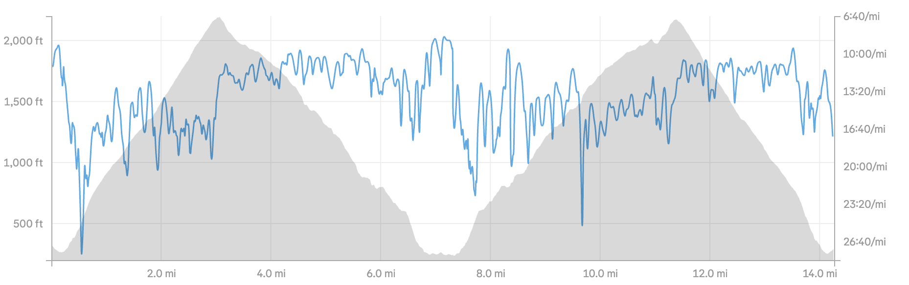
Looking for an outstanding 3 to 4-hour trail run that captures the true, raw essence of Big Sur? Look no further than the Tan Bark Trail.
When you’re visiting the Central Coast, it’s easy to get caught up in the standard tourist loops. But for those who want to experience the transcendent intersection of physical movement and rugged California coastline, this route is the answer. You don't just get an incredible workout; you get the iconic drive down Highway 1, the sweeping coastal vistas, and a peak at the legendary McWay Falls.
The secret to unlocking the perfect morning out here? Start early. The word has long been out on Big Sur, and the weekend crowds are a very real hurdle. If you leave early, you’ll beat the traffic, skip the parking hassle, and—if you’re staying up in Monterey—you’ll be back home by lunch.
The Route At A Glance
Type: Out-and-Back Trail Run
Distance: ~14 miles total
Total Elevation Gain: Peak topping out at 2,100 feet twice
Time Commitment: 3 to 4 hours
The Vibe: Deep redwood canyons meeting expansive ocean views.
Stage 1: The Ascent from Sea Level (Miles 0–3)
The journey begins at dawn. Meet a partner or head out solo, hit the Starbucks at the mouth of Carmel Valley by 6:30 AM to grab a coffee, and get on the road south. You’ll want to park at the Partington Canyon pullout on Highway 1 and hit the dirt by 7:30 AM.
The route starts right near sea level. The first 3 miles are a steady, relentless uphill, topping out at 2,100 feet above the ocean. Thanks to a well-engineered network of switchbacks, it never feels overwhelmingly steep on the way out. You start deep in a lush canyon, surrounded by towering redwoods and the sound of the creek, before popping out at the top where the vastness of the Pacific opens up before you.
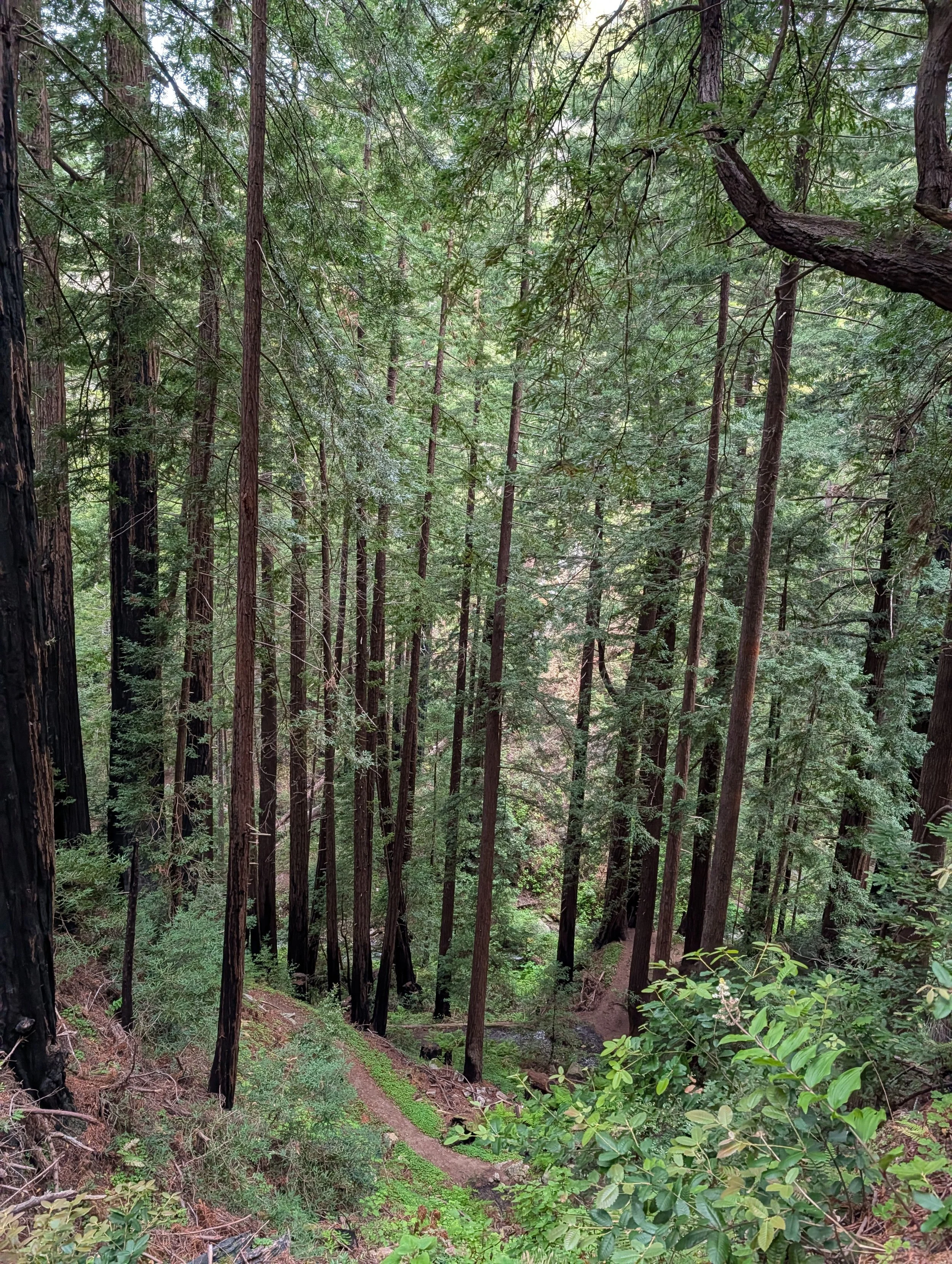
If the classic coastal marine layer is still burning off, embrace it. There is something deeply spiritual about watching the fog cut through the trees and clouds as you find your rhythm.
Stage 2: Dropping into McWay Canyon (Miles 3–7)
Once you peak out around mile 3, the landscape shifts. You’ll navigate a steady 3.5-mile descent toward McWay Canyon, located within Julia Pfeiffer Burns State Park.
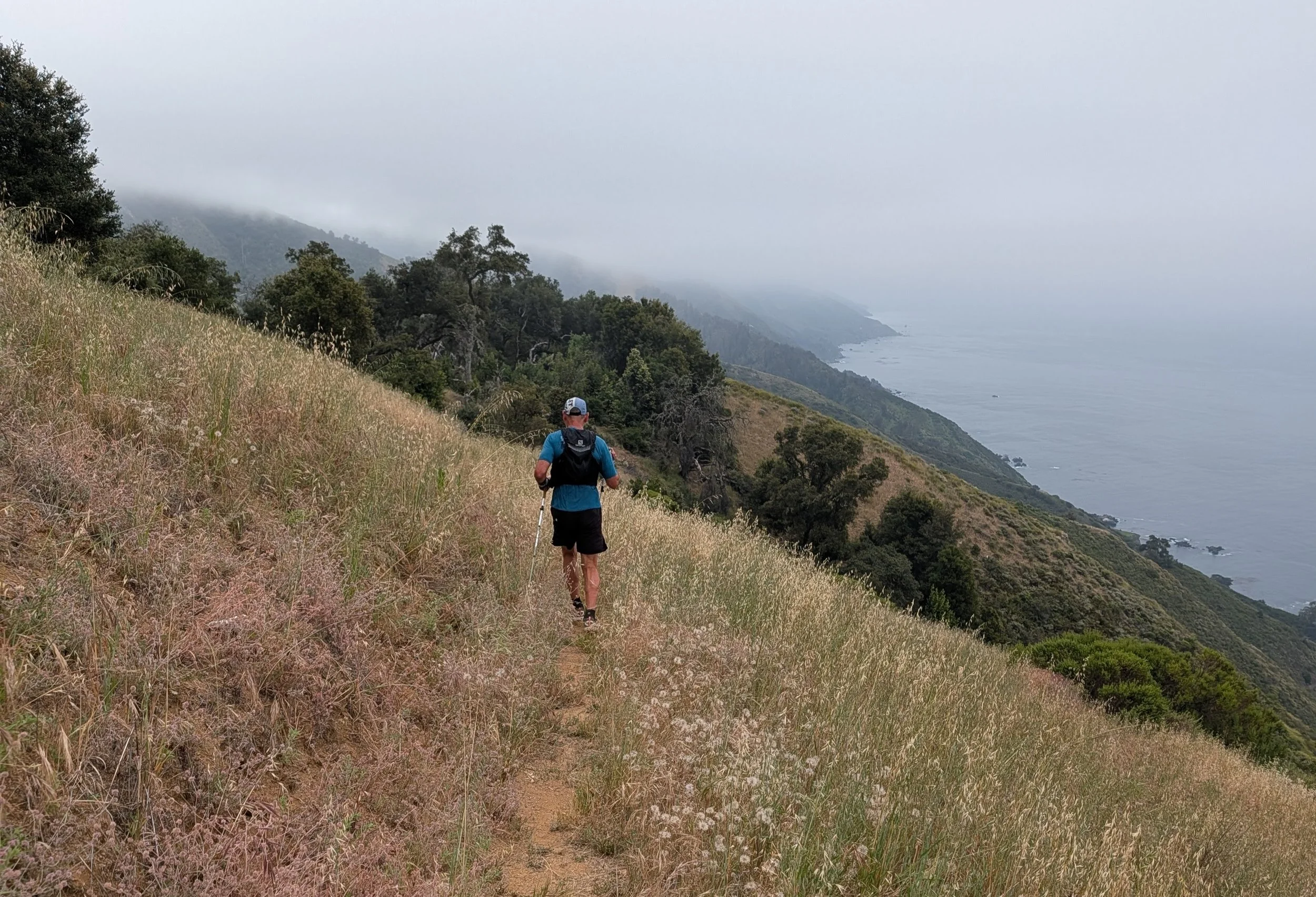
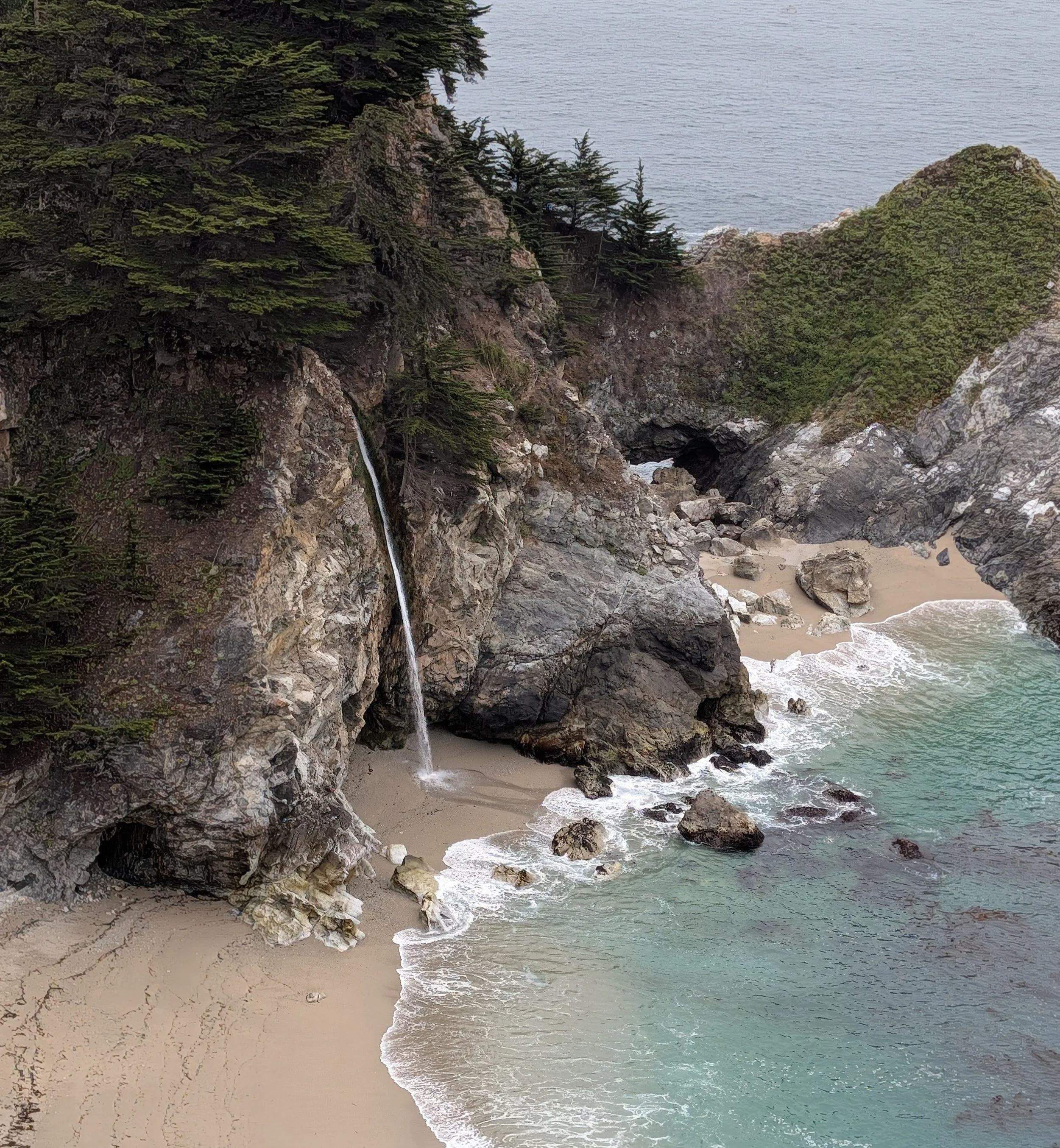
This is where the views really pick up, and if you’re locked into "the zone," the miles will completely disappear. At the bottom of the canyon, you’ll hit the parking lot and restrooms—a perfect spot for a quick reset. Before turning back, make sure to exit the main park path to catch a glimpse of the iconic McWay Falls dropping onto the sandy cove below. It’s a striking reminder of why we push ourselves to explore the outside.
Stage 3: The Climb Back & The Roll Home (Miles 7–14)
What goes down must come back up. Turn around and retrace your steps on the same trail.
The climb back up from McWay is a steady, grinding haul to get back to that 2,100-foot ridge line. Compared to the smooth switchbacks of the morning, this side feels a bit steeper and will demand your full discipline. But this is exactly where effort wins. It's a pure test of physical and mental endurance.
Once you reach the top of the ridge for the second time, the hard work is done. From there, it’s a beautiful, steady roll down the mountain all the way back to the Partington Canyon pullout where you started.
Effort Leads to Answers
Whether you are an accomplished ultramarathoner or an athlete looking to reconnect with a lapsed practice, this trail fills the soul with good vibes. Epiphanies don’t come from sitting still—here they are found in the dirt, the distance, and the discipline it takes to move point-to-point along the edge of the world.
Pack your hydration vest, lace up your trail shoes, leave early, and go find your own answers on the Tan Bark.